
One of my little side projects is to explore historical images and maps of Bath and the surrounding areas. I like understanding the contrast between how Bath used to look and how it is today. It’s grown and changed a huge amount over the years. It gives me a strong sense of place and history.
There is a rich archive of photographs and images of the city and area that were digitised for the Bath in Time project. Unfortunately the council has chosen to turn this archive into a, frankly terrible, website that is being used to sell over-priced framed prints.
The website has limited navigation and there’s no access to higher resolution imagery. Older versions of the site had better navigation and access to some maps.
The current version looks like it’s based on a default ecommerce theme for WordPress rather than being designed to show off the richness of the 40,000 images it contains. Ironically the @bathintime twitter account tweets out higher resolution images than you can find on the website.
This is a real shame. Frankly I can’t imagine there’s a huge amount of revenue being generated from these prints.
If the metadata and images were published under a more open licence (even with a non-commercial limitation) then it would be more useful for people like me who are interested in local history. We might even be able to help build useful interfaces. I would happily invest time in cataloguing images and making something useful with them. In fact, I have been.
In lieu of a proper online archive, I’ve been compiling a list of publicly available images from other museums and collections. So far, I’ve sifted through:
- British Library collection on Flickr, which is fantastic
- British Museum, available under a non-commercial licence
- Yale Centre for British Art, public domain
- Library of Congress Prints and Photographs, public domain
- Wellcome Collection, open licence
- Old Book Illustrations, public domain
- Wikimedia, public domain
- Smithsonian, public domain
- Internet Archive
I’ve only found around 230 images (including some duplicates across collections) so far, but there are some interesting items in there. Including some images of old maps.
I’ve published the list as open data.
So you can take the metadata and links and explore them for yourself. I thought they may be useful for anyone looking to reuse images in their research or publications.
I’m in the process of adding geographic coordinates to each of the images, so they can be placed on the map. I’m approaching that by geocoding them as if they were produced using a mobile phone or camera. For example, an image of the abbey won’t have the coordinates of the abbey associated with it, it’ll be wherever the artist was standing when they painted the picture.
This is already showing some interesting common views over the years. I’ve included a selection below.
Views from the river, towards Pulteney Bridge
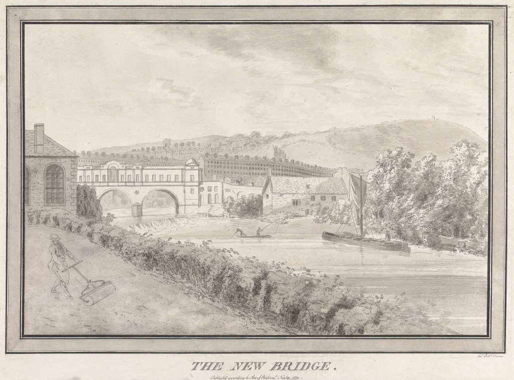
1773 
1788 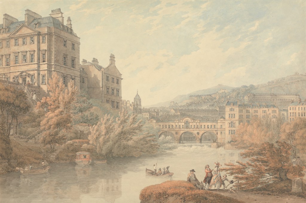
1790 
1885 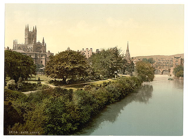
1890-1900 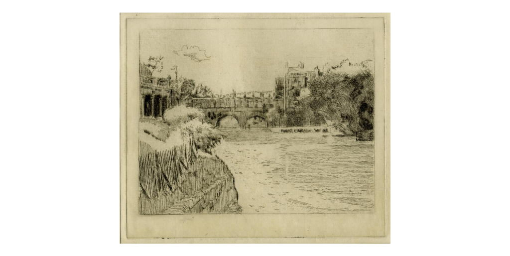
1916-1918
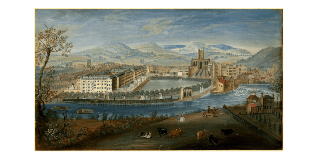
Southern views of the city
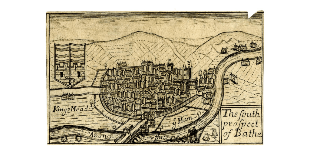
17th century, South 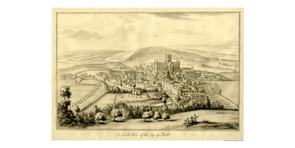
1718-1719, South 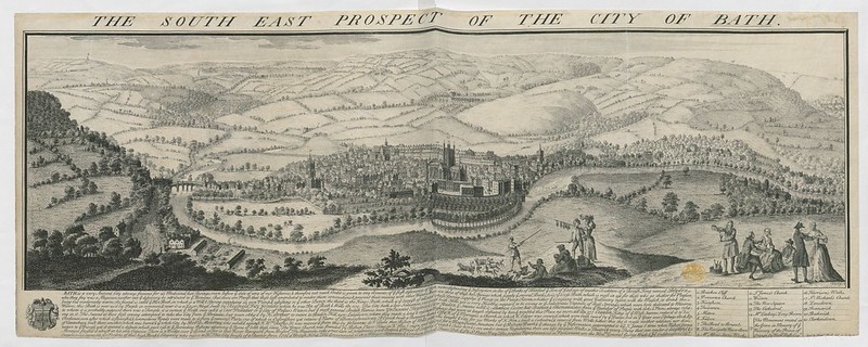
1734 or 1774, South East 
1787, South West 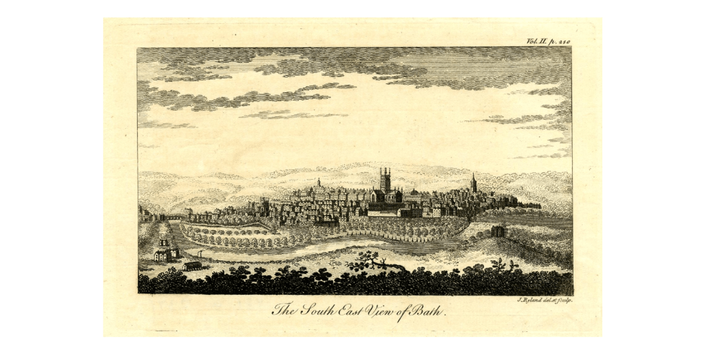
late 18th century, South East 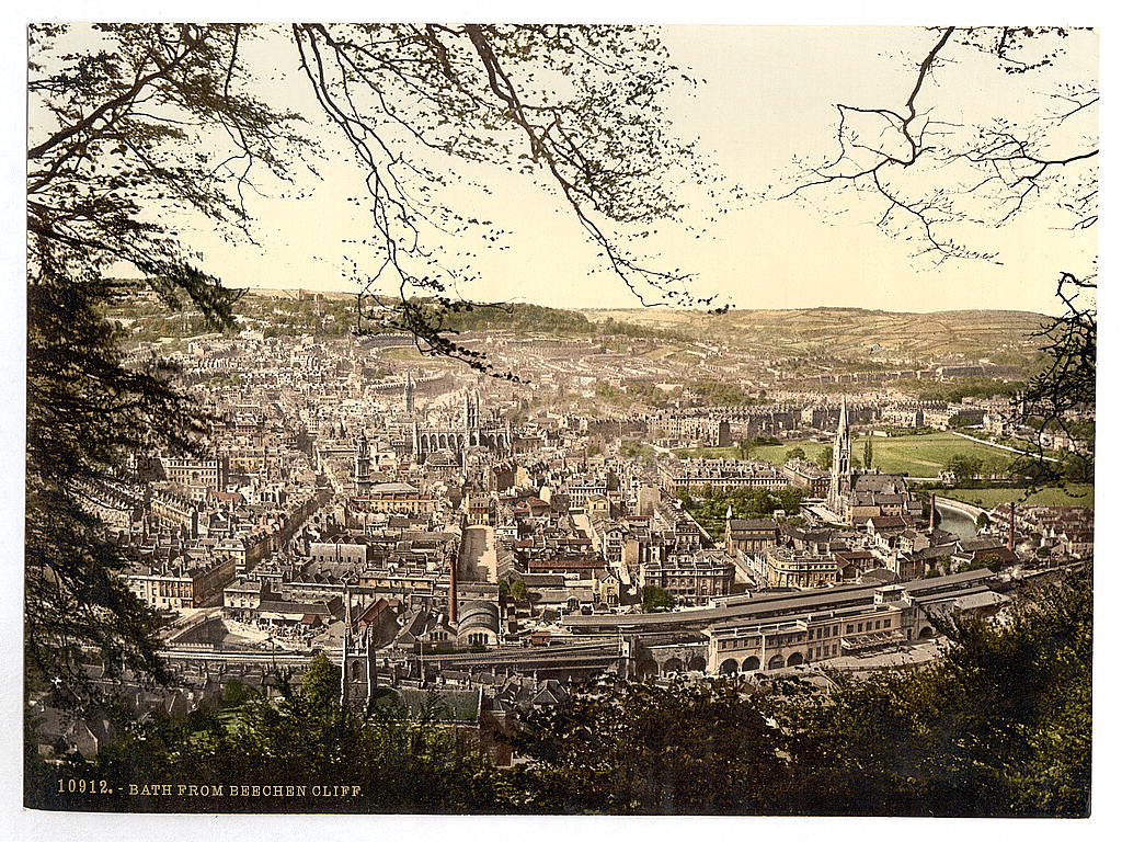
1890-1900, South

Looking to the east across abbey churchyard

1711-1733 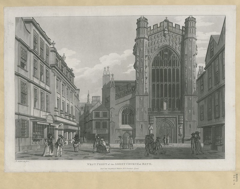
1788 
1793 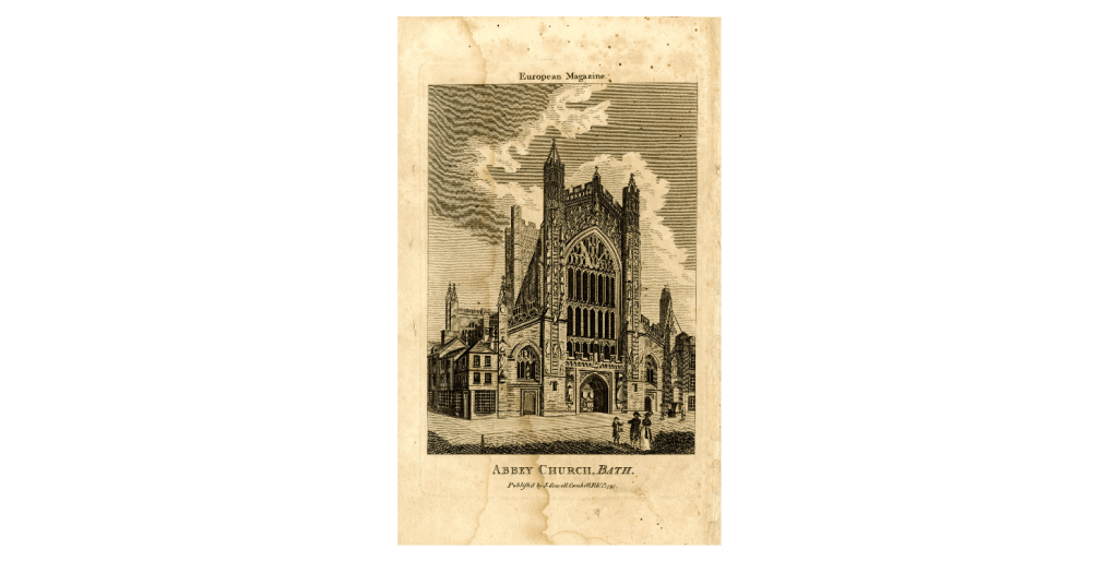
1797 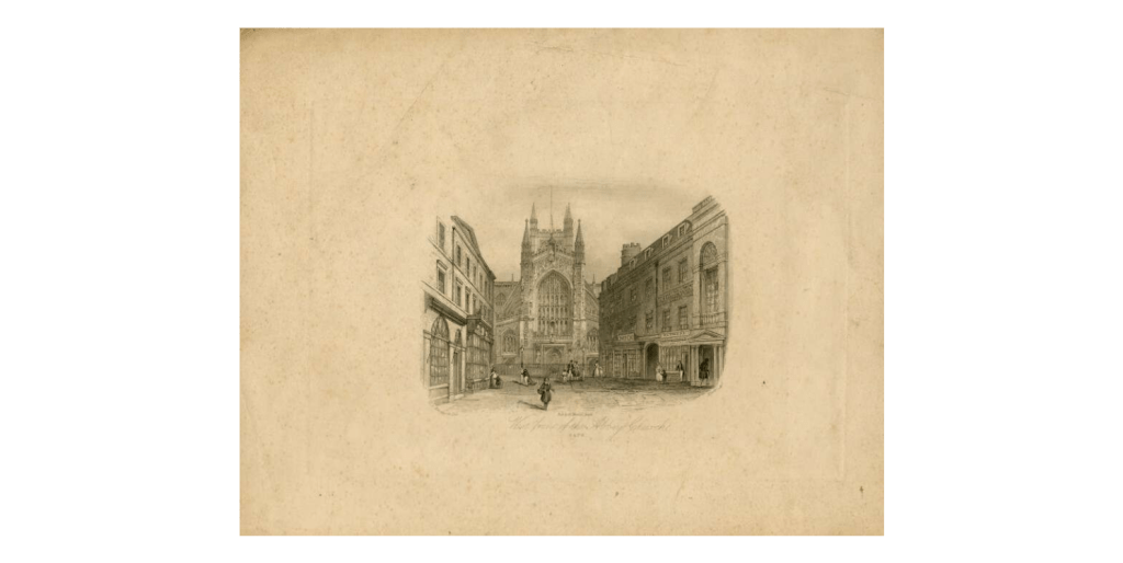
19th century 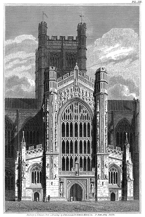
1820 
1883 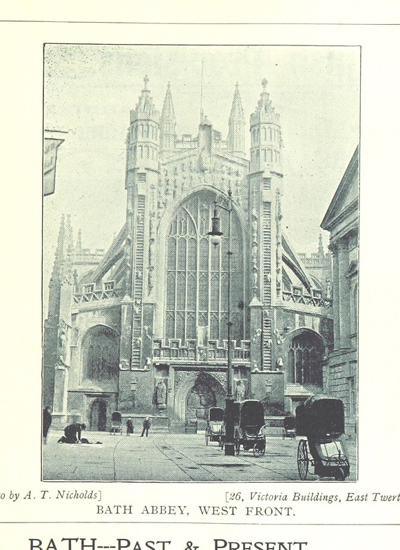
1898 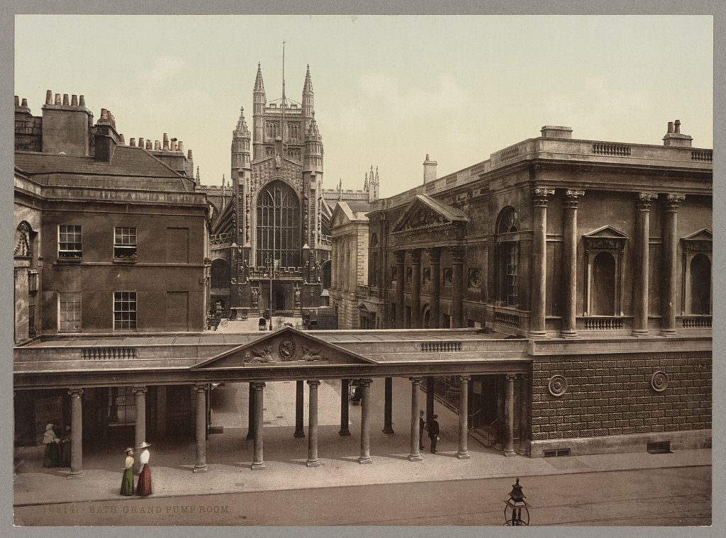
1905 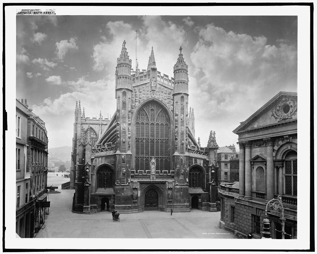
1910 and 1920

Views of the Orange Grove and Abbey
1716-1770 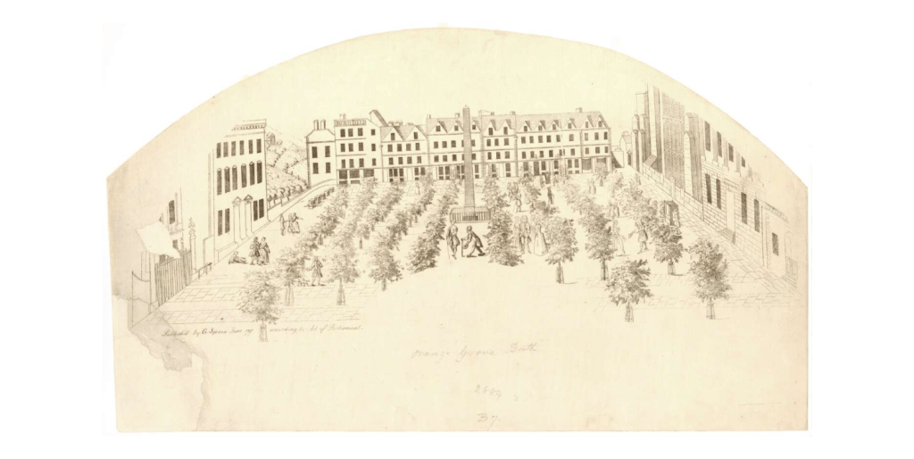
1737 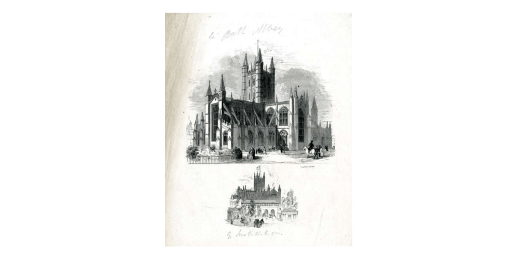
1847-1851 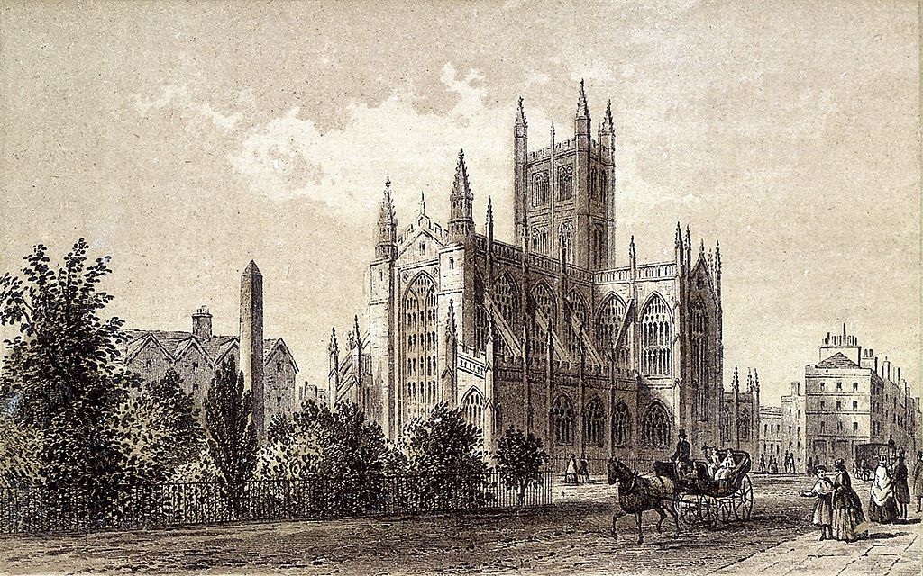
1875 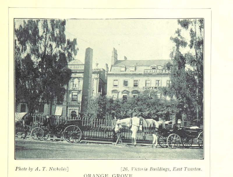
1898 
19th century 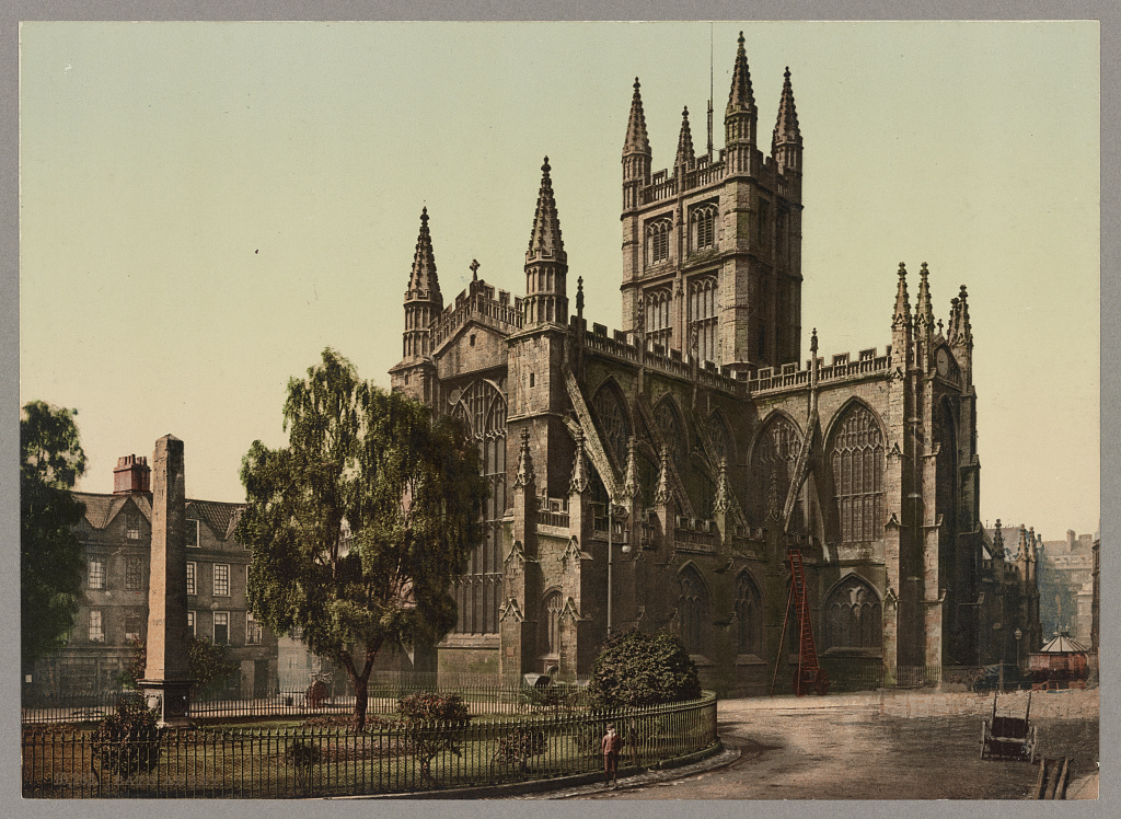
1905

It’s really interesting to be able to look at the same locations over time. Hopefully that gives a sense of what could be done if more of the archives we made available.
There’s more documentation on the dataset if you want to poke around. If you know of other collections of images I should look at, then let me know.
And if you have metadata or images to release under an open licence, or have archives you want to share, then get in touch as I may be able to help.
